
Grass River;Tramping Lake topographic map
Interactive map
Click on the map to display elevation.
About this map
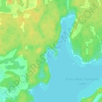
Name: Grass River;Tramping Lake topographic map, elevation, terrain.
Location: Grass River;Tramping Lake, Snow Lake, Manitoba, Canada (54.70361 -100.12508 54.70396 -100.12500)
Average elevation: 280 m
Minimum elevation: 269 m
Maximum elevation: 293 m
Other topographic maps
Click on a map to view its topography, its elevation and its terrain.