
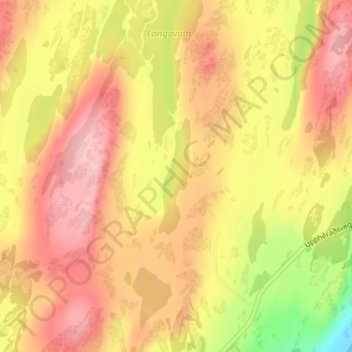
Reyðarvatn topographic map
Interactive map
Click on the map to display elevation.
About this map
Name: Reyðarvatn topographic map, elevation, terrain.
Location: Reyðarvatn, Múlaþing, Eastern Region, Iceland (65.26917 -14.49796 65.27821 -14.49204)
Average elevation: 108 m
Minimum elevation: 16 m
Maximum elevation: 166 m
Other topographic maps
Click on a map to view its topography, its elevation and its terrain.
Þríhyrningsvatn
Þríhyrningsvatn, Múlaþing, Eastern Region, Iceland
Average elevation: 622 m