
Finstermühle topographic map
Interactive map
Click on the map to display elevation.
About this map
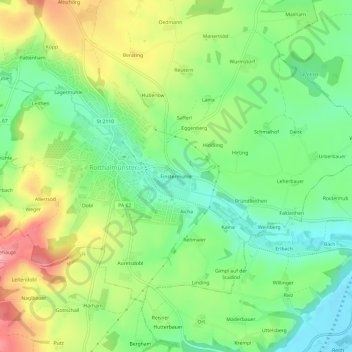
Name: Finstermühle topographic map, elevation, terrain.
Average elevation: 388 m
Minimum elevation: 335 m
Maximum elevation: 466 m
Other topographic maps
Click on a map to view its topography, its elevation and its terrain.
Rotthalmünster
Deutschland > Bayern > Landkreis Passau > Rotthalmünster
Rotthalmünster, Rotthalmünster (VGem), Landkreis Passau, Bayern, 94094, Deutschland
Average elevation: 380 m