
Wittendorf topographic map
Interactive map
Click on the map to display elevation.
About this map
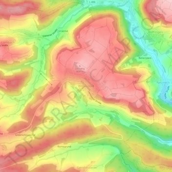
Name: Wittendorf topographic map, elevation, terrain.
Average elevation: 600 m
Minimum elevation: 491 m
Maximum elevation: 674 m
Other topographic maps
Click on a map to view its topography, its elevation and its terrain.
Lützenhardt
Germany > Baden-Württemberg > Landkreis Freudenstadt > Waldachtal
Lützenhardt, Waldachtal, Verwaltungsverband Dornstetten, Landkreis Freudenstadt, Baden-Württemberg, 72178, Germany
Average elevation: 615 m