Geolocate

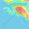
The Dead Sea topographic map

Click on the map to display elevation.

About this map
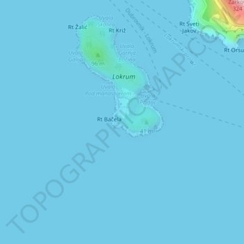
Name: The Dead Sea topographic map, elevation, terrain.

Location: The Dead Sea, Gradski kotar Ploče iza Grada, Dubrovnik, Dubrovnik-Neretva County, Croatia (42.62235 18.12005 42.62272 18.12059)

Average elevation: 6 m

Minimum elevation: -1 m

Maximum elevation: 306 m

Other topographic maps

Click on a map to view its topography, its elevation and its terrain.
Lopud

Croatia > Dubrovnik-Neretva County > Dubrovnik > Lopud

Average elevation: 16 m

Orašac

Croatia > Dubrovnik-Neretva County > Dubrovnik

Average elevation: 115 m

Obalj

Croatia > Dubrovnik-Neretva County > Dubrovnik

Average elevation: 376 m

Bosanka

Croatia > Dubrovnik-Neretva County > Dubrovnik

Average elevation: 156 m

Prijevor

Croatia > Dubrovnik-Neretva County > Dubrovnik

Average elevation: 248 m

Gear up for your next adventure:

🔋Power Banks - Portable chargers for long outdoor trips
🧴Tick Removal Tools - Small, essential health tool for UK woodland and moorland
🧤Hiking Gloves - Warm and durable gloves for cold-weather walks
🧼Biodegradable Soap - Leave-no-trace hygiene for multi-day mountain treks
🔦Head Torches - Hands-free lighting for hiking and camping

As an Amazon Associate, this site earns from qualifying purchases at no extra cost to you.