
Capsau topographic map
Interactive map
Click on the map to display elevation.
About this map
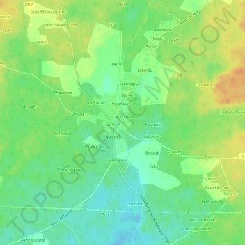
Name: Capsau topographic map, elevation, terrain.
Average elevation: 86 m
Minimum elevation: 69 m
Maximum elevation: 105 m
Other topographic maps
Click on a map to view its topography, its elevation and its terrain.
Lagraula
France > Nouvelle-Aquitaine > Landes > Garein
Lagraula, Garein, Mont-de-Marsan, Landes, Nouvelle-Aquitaine, France métropolitaine, 40420, France
Average elevation: 87 m