
Granger topographic map
Interactive map
Click on the map to display elevation.
About this map
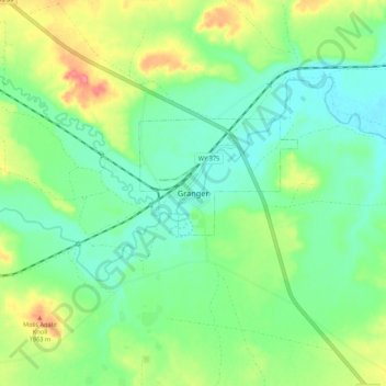
Name: Granger topographic map, elevation, terrain.
Location: Granger, Sweetwater County, Wyoming, États-Unis d'Amérique (41.55102 -110.00679 41.63102 -109.92679)
Average elevation: 1,924 m
Minimum elevation: 1,899 m
Maximum elevation: 1,973 m