
Lottsburg topographic map
Interactive map
Click on the map to display elevation.
About this map
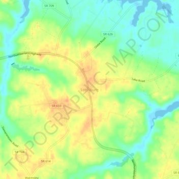
Name: Lottsburg topographic map, elevation, terrain.
Location: Lottsburg, Northumberland County, Virginia, 22511, USA (37.94096 -76.53884 37.98096 -76.49884)
Average elevation: 19 m
Minimum elevation: -1 m
Maximum elevation: 38 m