
Grashoek topographic map
Interactive map
Click on the map to display elevation.
About this map
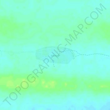
Name: Grashoek topographic map, elevation, terrain.
Location: Grashoek, Otjozondjupa, Namibië (-19.24122 19.23935 -19.23687 19.24961)
Average elevation: 1,202 m
Minimum elevation: 1,196 m
Maximum elevation: 1,209 m