
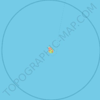
Aogashima topographic map
Interactive map
Click on the map to display elevation.
About this map
Name: Aogashima topographic map, elevation, terrain.
Location: Aogashima, Hachijō Subprefecture, Tokyo, Japan (32.24312 139.51650 32.67336 140.01874)
Average elevation: 0 m
Minimum elevation: 0 m
Maximum elevation: 386 m