
Winkel topographic map
Interactive map
Click on the map to display elevation.
About this map
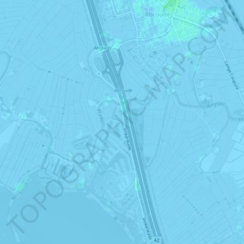
Name: Winkel topographic map, elevation, terrain.
Location: Winkel, De Ronde Venen, Utrecht, Pays-Bas, 3645AR, Pays-Bas (52.25381 4.95131 52.26278 4.97885)
Average elevation: -2 m
Minimum elevation: -6 m
Maximum elevation: 4 m