
La Heydt topographic map
Interactive map
Click on the map to display elevation.
About this map
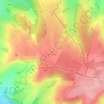
Name: La Heydt topographic map, elevation, terrain.
Location: La Heydt, Dalhem, Liège, Wallonie, 4607, Belgique (50.72147 5.79959 50.72157 5.79969)
Average elevation: 210 m
Minimum elevation: 120 m
Maximum elevation: 261 m
Other topographic maps
Click on a map to view its topography, its elevation and its terrain.