
Fallah Village topographic map
Interactive map
Click on the map to display elevation.
About this map
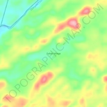
Name: Fallah Village topographic map, elevation, terrain.
Location: Fallah Village, Koninga, Gbarpolu County, Liberia (7.78740 -10.28844 7.82740 -10.24844)
Average elevation: 452 m
Minimum elevation: 385 m
Maximum elevation: 536 m