
Peam Chi Kang topographic map
Interactive map
Click on the map to display elevation.
About this map
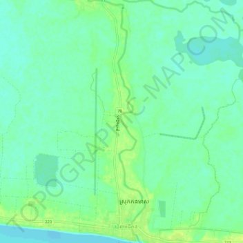
Name: Peam Chi Kang topographic map, elevation, terrain.
Location: Peam Chi Kang, Kang Meas, Kampong Cham, Cambodia (11.94190 105.26400 11.99295 105.27316)
Average elevation: 12 m
Minimum elevation: 5 m
Maximum elevation: 22 m