
Reutlingen topographic map
Interactive map
Click on the map to display elevation.
About this map
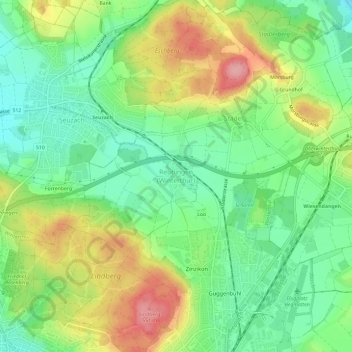
Name: Reutlingen topographic map, elevation, terrain.
Location: Reutlingen, Winterthur, Bezirk Winterthur, Zürich, 8404, Schweiz (47.50820 8.73141 47.54820 8.77141)
Average elevation: 479 m
Minimum elevation: 427 m
Maximum elevation: 557 m