
Bonfol topographic map
Interactive map
Click on the map to display elevation.
About this map
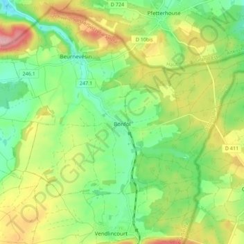
Name: Bonfol topographic map, elevation, terrain.
Location: Bonfol, District de Porrentruy, Jura, 2944, Suisse (47.46006 7.11892 47.49428 7.20296)
Average elevation: 462 m
Minimum elevation: 406 m
Maximum elevation: 544 m