
Măgura topographic map
Interactive map
Click on the map to display elevation.
About this map
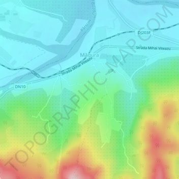
Name: Măgura topographic map, elevation, terrain.
Location: Măgura, Buzău, Romania (45.26496 26.57081 45.28213 26.60555)
Average elevation: 235 m
Minimum elevation: 163 m
Maximum elevation: 424 m