
Galla air topographic map
Interactive map
Click on the map to display elevation.
About this map
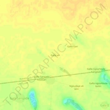
Name: Galla air topographic map, elevation, terrain.
Location: Galla air, Kanem, Chad (13.71357 15.23956 13.75357 15.27956)
Average elevation: 314 m
Minimum elevation: 295 m
Maximum elevation: 319 m