Geolocate

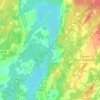
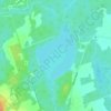
Shadow Lake topographic map

Click on the map to display elevation.

About this map
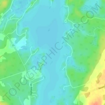
Name: Shadow Lake topographic map, elevation, terrain.

Location: Shadow Lake, Kawartha Lakes, Central Ontario, Ontario, K0M 2L0, Canada (44.72223 -78.79174 44.72233 -78.79164)

Average elevation: 266 m

Minimum elevation: 255 m

Maximum elevation: 298 m

Other topographic maps

Click on a map to view its topography, its elevation and its terrain.
Pigeon River

Canada > Ontario > Kawartha Lakes > Omemee

Average elevation: 259 m

Dalrymple Lake

Canada > Ontario > Kawartha Lakes

Average elevation: 241 m

Head Lake

Canada > Ontario > Kawartha Lakes

Average elevation: 278 m

Sturgeon Lake

Canada > Ontario > Kawartha Lakes

Average elevation: 266 m

Emily Provincial Park

Canada > Ontario > Kawartha Lakes

Average elevation: 259 m

Young Lake

Canada > Ontario > Kawartha Lakes

Average elevation: 231 m

Four Mile Lake

Canada > Ontario > Kawartha Lakes

Average elevation: 282 m

Cameron Lake

Canada > Ontario > Kawartha Lakes > Fenelon Falls

Average elevation: 262 m

Victoria Lake

Canada > Ontario > Kawartha Lakes

Average elevation: 308 m

Gear up for your next adventure:

🥤Hiking Water Bottles - Reusable bottles for hydration on the trail
📍Handheld GPS Navigators - Reliable satellite navigation for hiking and off-road exploration
🧭Orienteering Compasses - Accurate compasses for map-based navigation
🧘Folding Sit Mats - Dry and warm seat for map-reading breaks on damp ground
🎒Hiking Daypacks (20L) - Compact backpacks for day trips and technical mountain ascents

As an Amazon Associate, this site earns from qualifying purchases at no extra cost to you.