
Gemeinde Krumbach topographic map
Interactive map
Click on the map to display elevation.
About this map
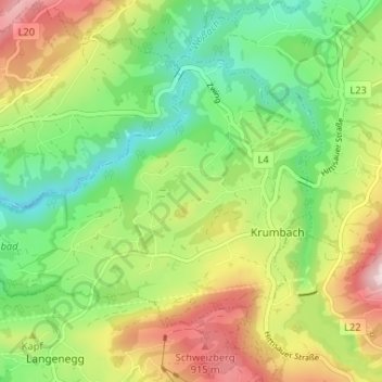
Name: Gemeinde Krumbach topographic map, elevation, terrain.
Location: Gemeinde Krumbach, Bezirk Bregenz, Vorarlberg, 6942, Austria (47.47206 9.87792 47.50320 9.94300)
Average elevation: 713 m
Minimum elevation: 514 m
Maximum elevation: 1,015 m