
Parc Régional du Massif du Sud topographic map
Interactive map
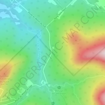
Click on the map to display elevation.
About this map
Name: Parc Régional du Massif du Sud topographic map, elevation, terrain.
Average elevation: 510 m
Minimum elevation: 378 m
Maximum elevation: 758 m
Other topographic maps
Click on a map to view its topography, its elevation and its terrain.
Mont Saint-Magloire
Canada > Québec > Saint-Philémon
Mont Saint-Magloire, Saint-Philémon, Bellechasse, Chaudière-Appalaches, Québec, Canada
Average elevation: 793 m