
태천읍 topographic map
Interactive map
Click on the map to display elevation.
About this map
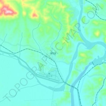
Name: 태천읍 topographic map, elevation, terrain.
Location: 태천읍, 태천군, Pyongan du Nord, Corée du Nord (39.88154 125.45428 39.96154 125.53428)
Average elevation: 70 m
Minimum elevation: 9 m
Maximum elevation: 382 m