
Maunaloa topographic map
Interactive map
Click on the map to display elevation.
About this map
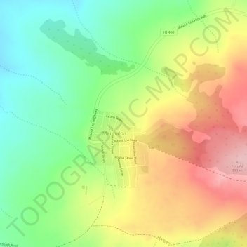
Name: Maunaloa topographic map, elevation, terrain.
Location: Maunaloa, Maui County, Hawaii, United States (21.13002 -157.21802 21.13971 -157.20616)
Average elevation: 303 m
Minimum elevation: 212 m
Maximum elevation: 400 m