
Ligney topographic map
Interactive map
Click on the map to display elevation.
About this map
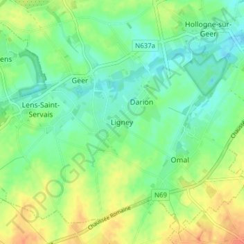
Name: Ligney topographic map, elevation, terrain.
Location: Ligney, Geer, Borgworm, Luik, Wallonië, 4250, België (50.64164 5.16191 50.68164 5.20191)
Average elevation: 134 m
Minimum elevation: 119 m
Maximum elevation: 156 m