
Lanark topographic map
Interactive map
Click on the map to display elevation.
About this map
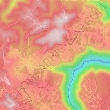
Name: Lanark topographic map, elevation, terrain.
Location: Lanark, Raleigh County, West Virginia, 25860, United States (37.80761 -81.16621 37.84761 -81.12621)
Average elevation: 696 m
Minimum elevation: 442 m
Maximum elevation: 803 m