
Municipio Curahuara de Carangas topographic map
Interactive map
Click on the map to display elevation.
About this map
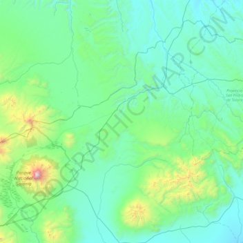
Name: Municipio Curahuara de Carangas topographic map, elevation, terrain.
Average elevation: 4,130 m
Minimum elevation: 3,781 m
Maximum elevation: 6,514 m
Other topographic maps
Click on a map to view its topography, its elevation and its terrain.
Nevado Sajama
Bolivia > Oruro > Municipio Curahuara de Carangas
Nevado Sajama, Municipio Curahuara de Carangas, Provincia Sajama, Oruro, Bolivia
Average elevation: 5,801 m