
Byrsta topographic map
Interactive map
Click on the map to display elevation.
About this map
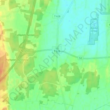
Name: Byrsta topographic map, elevation, terrain.
Location: Byrsta, Kumla kommun, Örebro län, Svealand, 69434, Zweden (59.08180 15.06580 59.12180 15.10580)
Average elevation: 50 m
Minimum elevation: 37 m
Maximum elevation: 72 m