
Camor Gila topographic map
Interactive map
Click on the map to display elevation.
About this map
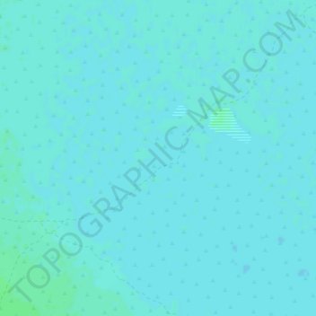
Name: Camor Gila topographic map, elevation, terrain.
Location: Camor Gila, Badhadhe, Jubbada Hoose, Somalie (-0.23850 41.16270 -0.19850 41.20270)
Average elevation: 59 m
Minimum elevation: 57 m
Maximum elevation: 62 m