
Alnes topographic map
Interactive map
Click on the map to display elevation.
About this map
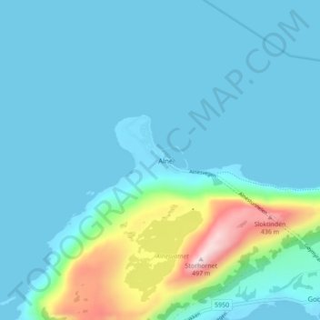
Name: Alnes topographic map, elevation, terrain.
Location: Alnes, Giske, Møre og Romsdal, 6055, Norway (62.46598 5.95343 62.50598 5.99343)
Average elevation: 70 m
Minimum elevation: -2 m
Maximum elevation: 484 m