
La Ventura (San Cristóbal) topographic map
Interactive map
Click on the map to display elevation.
About this map
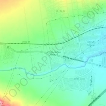
Name: La Ventura (San Cristóbal) topographic map, elevation, terrain.
Average elevation: 652 m
Minimum elevation: 611 m
Maximum elevation: 746 m