
Mae Fah Luang Art and Culture Park topographic map
Interactive map
Click on the map to display elevation.
About this map
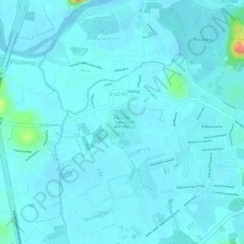
Name: Mae Fah Luang Art and Culture Park topographic map, elevation, terrain.
Average elevation: 400 m
Minimum elevation: 393 m
Maximum elevation: 452 m