
村田町 topographic map
Interactive map
Click on the map to display elevation.
About this map
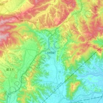
Name: 村田町 topographic map, elevation, terrain.
Location: 村田町, 柴田郡, 宫城县, 日本 (38.05849 140.63654 38.18090 140.79657)
Average elevation: 130 m
Minimum elevation: 5 m
Maximum elevation: 361 m