
Egypt topographic map
Interactive map
Click on the map to display elevation.
About this map
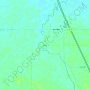
Name: Egypt topographic map, elevation, terrain.
Location: Egypt, Jasper County, Indiana, United States (40.83921 -87.22391 40.87921 -87.18391)
Average elevation: 203 m
Minimum elevation: 198 m
Maximum elevation: 208 m
Other topographic maps
Click on a map to view its topography, its elevation and its terrain.
Wheatfield
United States > Indiana > Jasper County
Wheatfield, Jasper County, Indiana, United States
Average elevation: 203 m