
Gordon topographic map
Interactive map
Click on the map to display elevation.
About this map
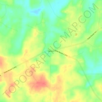
Name: Gordon topographic map, elevation, terrain.
Location: Gordon, Claiborne Parish, Louisiana, United States (32.96736 -93.05350 33.00736 -93.01350)
Average elevation: 85 m
Minimum elevation: 59 m
Maximum elevation: 110 m