
Spring Creek Village topographic map
Interactive map
Click on the map to display elevation.
About this map
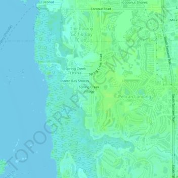
Name: Spring Creek Village topographic map, elevation, terrain.
Average elevation: 4 m
Minimum elevation: -1 m
Maximum elevation: 9 m
Other topographic maps
Click on a map to view its topography, its elevation and its terrain.
Council
United States > Florida > Lee County > Bonita Springs > Pelican Landing
Council, Pelican Landing, Bonita Springs, Lee County, Florida, 34136, United States
Average elevation: 6 m