
江府町 topographic map
Interactive map
Click on the map to display elevation.
About this map
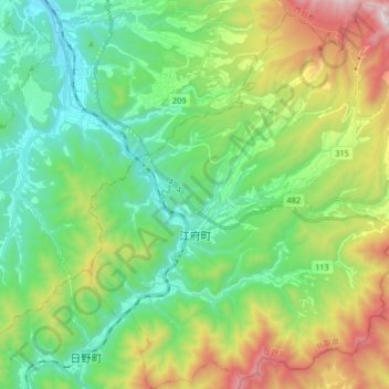
Name: 江府町 topographic map, elevation, terrain.
Location: 江府町, 日野郡, Prefectura de Tottori, Japón (35.22977 133.44377 35.36365 133.59641)
Average elevation: 465 m
Minimum elevation: 56 m
Maximum elevation: 1,386 m