
Schönebeck topographic map
Interactive map
Click on the map to display elevation.
About this map
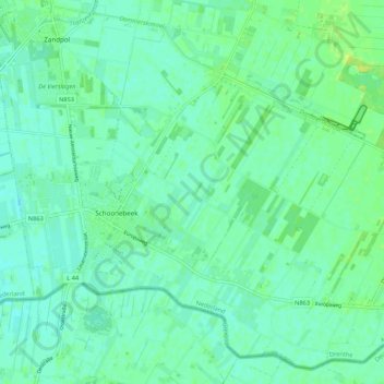
Name: Schönebeck topographic map, elevation, terrain.
Location: Schönebeck, Emmen, Drente, Niederlande (52.64129 6.85215 52.69425 6.95937)
Average elevation: 14 m
Minimum elevation: 8 m
Maximum elevation: 19 m