
Magrane topographic map
Interactive map
Click on the map to display elevation.
About this map
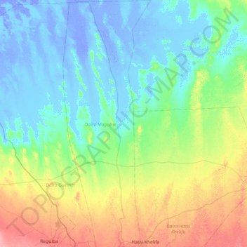
Name: Magrane topographic map, elevation, terrain.
Location: Magrane, Magrane District, El Oued, Algeria (33.55062 6.82076 34.15429 7.01006)
Average elevation: 15 m
Minimum elevation: -27 m
Maximum elevation: 71 m
Other topographic maps
Click on a map to view its topography, its elevation and its terrain.
Hamadine
Algeria > El Oued > Magrane District > Magrane
Hamadine, Magrane, Magrane District, El Oued, 39023, Algeria
Average elevation: 49 m