
Porozina topographic map
Interactive map
Click on the map to display elevation.
About this map
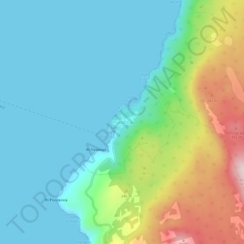
Name: Porozina topographic map, elevation, terrain.
Location: Porozina, Primorje-Gorski Kotar County, 51557, Croatia (45.11270 14.26781 45.15270 14.30781)
Average elevation: 117 m
Minimum elevation: 0 m
Maximum elevation: 447 m