
De Eng topographic map
Interactive map
Click on the map to display elevation.
About this map
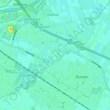
Name: De Eng topographic map, elevation, terrain.
Location: De Eng, Duiven, Gueldre, Pays-Bas, 6921PR, Pays-Bas (51.93756 5.98876 51.97756 6.02876)
Average elevation: 11 m
Minimum elevation: 6 m
Maximum elevation: 29 m