
Dentergem topographic map
Interactive map
Click on the map to display elevation.
About this map
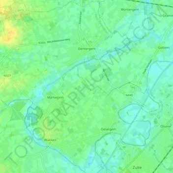
Name: Dentergem topographic map, elevation, terrain.
Location: Dentergem, Tielt, Flandre-Occidentale, Flandre, 8720, Belgique (50.91912 3.36081 50.98169 3.46142)
Average elevation: 11 m
Minimum elevation: 3 m
Maximum elevation: 26 m