
Kazerun topographic map
Interactive map
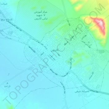
Click on the map to display elevation.
About this map
Name: Kazerun topographic map, elevation, terrain.
Average elevation: 868 m
Minimum elevation: 808 m
Maximum elevation: 1,332 m
Other topographic maps
Click on a map to view its topography, its elevation and its terrain.
پارک طالقانی
Iran > Fars Province > Kazerun County > Kazerun
پارک طالقانی, Kazerun, Centeral District, Kazerun County, Fars Province, Iran
Average elevation: 978 m