
Hojas Anchas topographic map
Interactive map
Click on the map to display elevation.
About this map
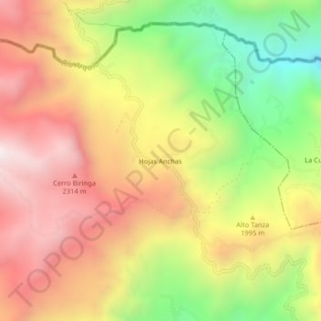
Name: Hojas Anchas topographic map, elevation, terrain.
Location: Hojas Anchas, Supía, Alto Occidente, Caldas, Colombia (5.49345 -75.66764 5.53345 -75.62764)
Average elevation: 1,976 m
Minimum elevation: 1,341 m
Maximum elevation: 2,520 m