
West Wildwood topographic map
Interactive map
Click on the map to display elevation.
About this map
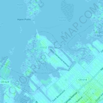
Name: West Wildwood topographic map, elevation, terrain.
Location: West Wildwood, Cape May County, New Jersey, États-Unis (38.99596 -74.83163 39.00646 -74.81587)
Average elevation: 1 m
Minimum elevation: -6 m
Maximum elevation: 7 m