
Elen topographic map
Interactive map
Click on the map to display elevation.
About this map
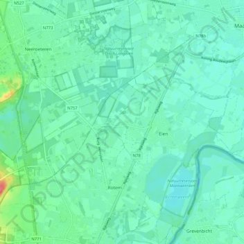
Name: Elen topographic map, elevation, terrain.
Location: Elen, Dilsen-Stokkem, Maaseik, Limburg, Flandern, 3650, Belgien (51.05638 5.69916 51.08233 5.80117)
Average elevation: 35 m
Minimum elevation: 23 m
Maximum elevation: 81 m