Geolocate

Sandy Beach topographic map

Click on the map to display elevation.

About this map

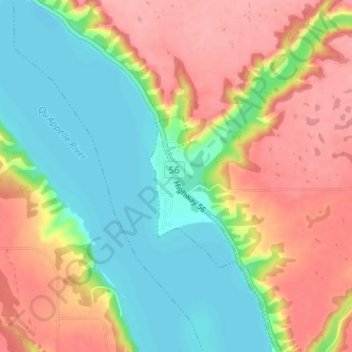
Name: Sandy Beach topographic map, elevation, terrain.

Location: Sandy Beach, Abernethy No. 186, Saskatchewan, Canada (50.70548 -103.66624 50.74548 -103.62624)

Average elevation: 519 m

Minimum elevation: 474 m

Maximum elevation: 570 m

Gear up for your next adventure:

🕶️Polarized Sunglasses - Reduces glare from snow and water when reading terrain
Altimeter Watches - Watches measuring altitude for mountain activities
📍Handheld GPS Navigators - Reliable satellite navigation for hiking and off-road exploration
🚶Walking Pedometers - Simple distance tracking for casual trail walkers
🥾Hiking Boot Waterproofing Wax - Maintain the lifespan of your leather trekking boots

As an Amazon Associate, this site earns from qualifying purchases at no extra cost to you.