
Shark Creek topographic map
Interactive map
Click on the map to display elevation.
About this map
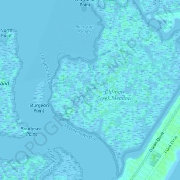
Name: Shark Creek topographic map, elevation, terrain.
Average elevation: 1 m
Minimum elevation: -4 m
Maximum elevation: 7 m
Other topographic maps
Click on a map to view its topography, its elevation and its terrain.
Pennsylvania Harbor
United States > New Jersey > Cape May County > Avalon
Pennsylvania Harbor, Avalon, Cape May County, New Jersey, United States
Average elevation: 1 m