Sa`sa` topographic map
Interactive map
Click on the map to display elevation.
About this map
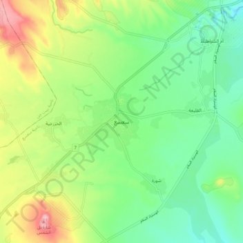
Name: Sa`sa` topographic map, elevation, terrain.
Average elevation: 891 m
Minimum elevation: 828 m
Maximum elevation: 1,008 m

Click on the map to display elevation.
Name: Sa`sa` topographic map, elevation, terrain.
Average elevation: 891 m
Minimum elevation: 828 m
Maximum elevation: 1,008 m