
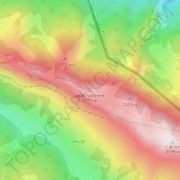
Malji Nečinat topographic map
Interactive map
Click on the map to display elevation.
About this map
Name: Malji Nečinat topographic map, elevation, terrain.
Location: Malji Nečinat, Gemeinde Plav, Montenegro (42.66379 20.08495 42.66389 20.08505)
Average elevation: 1,909 m
Minimum elevation: 1,436 m
Maximum elevation: 2,336 m