
Sartfell topographic map
Interactive map
Click on the map to display elevation.
About this map
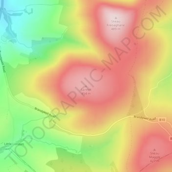
Name: Sartfell topographic map, elevation, terrain.
Location: Sartfell, Michael, IM6 1AW, Isle of Man (54.25315 -4.55711 54.25325 -4.55701)
Average elevation: 309 m
Minimum elevation: 89 m
Maximum elevation: 485 m